Exploring the Forth Clyde Canal and Central Scotland
Stemming from an interest in infrastructural, social, and economic armatures across the central belt of Scotland, this project interprets the ‘fetch’ of Edinburgh’s Union Canal, spanning from Tollcross to the Slateford Aqueduct, as an example of a more intense urban condition. A series of interventions occupy the edges and crossings of the canal: new bridges, the infrastructure for new electric barges, a farmers’ market, and a new residential marina. Existing rowing, walking, and cycling communities which inhabit the canal, and its towpath are augmented with a separate rowing channel and new boat house, aiming to improve the sustainability of development in the area and reinstating the connection of the canal to the city.
The Forth and Clyde Canal and the Union Canal are reinstated as a vital e-logistics trade route between Edinburgh and Glasgow. Lock-keeping becomes part of finely calibrated digital signalling logistics. The Waterway High Street is supported by this new technological armature, which provides the impetus for a network of local production, transportation, and consumption. The institution of the Canal as both a renewed armature and an intensified urban condition cultivates a new and sustainable canal-side community.
The Forth and Clyde Canal and the Union Canal are reinstated as a vital e-logistics trade route between Edinburgh and Glasgow. Lock-keeping becomes part of finely calibrated digital signalling logistics. The Waterway High Street is supported by this new technological armature, which provides the impetus for a network of local production, transportation, and consumption. The institution of the Canal as both a renewed armature and an intensified urban condition cultivates a new and sustainable canal-side community.

Defining the Site of the canal

Phasing the proposal into a 30-year plan

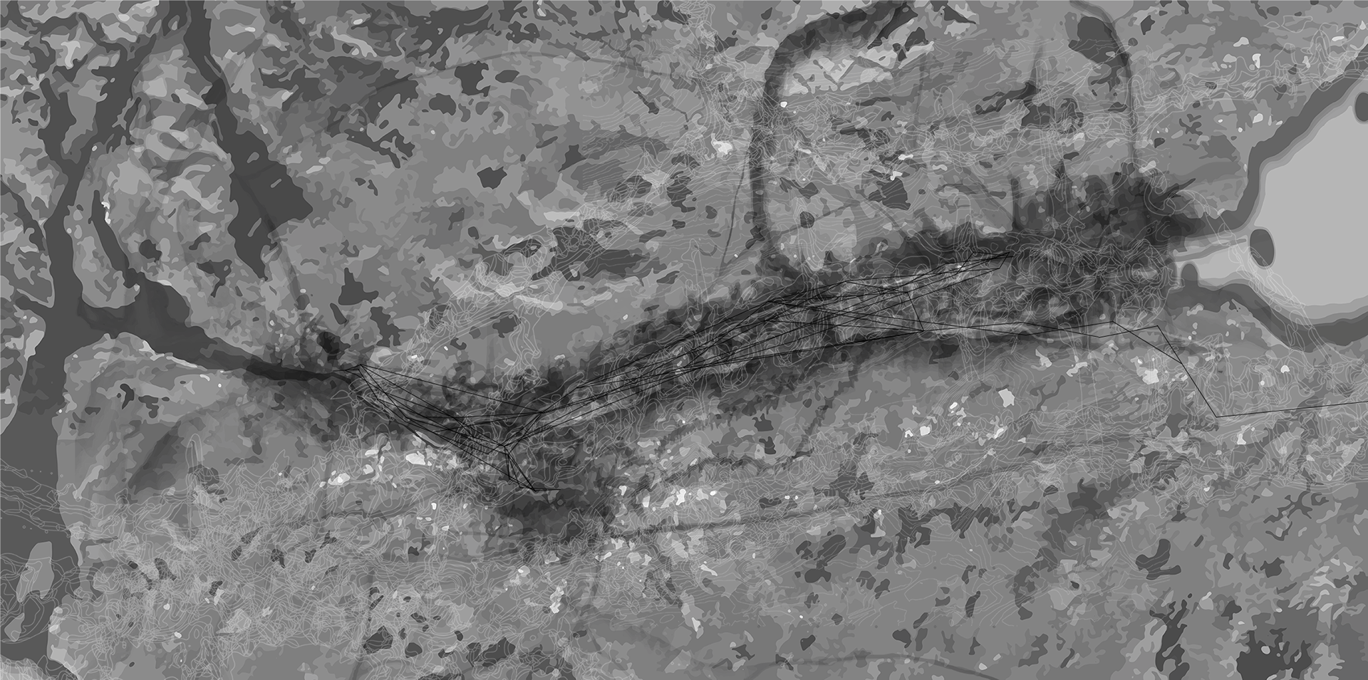
Identifying characteristics of the Canal through Edinburgh
The project's first phase included dredging and carrying out repairs, widening areas and updating the existing canal in preparation for it to be used as a local trade network. This also included adding infrastructure for electronic barges, heightening bridges and including Canal Signal boxes along the length of the existing canal.

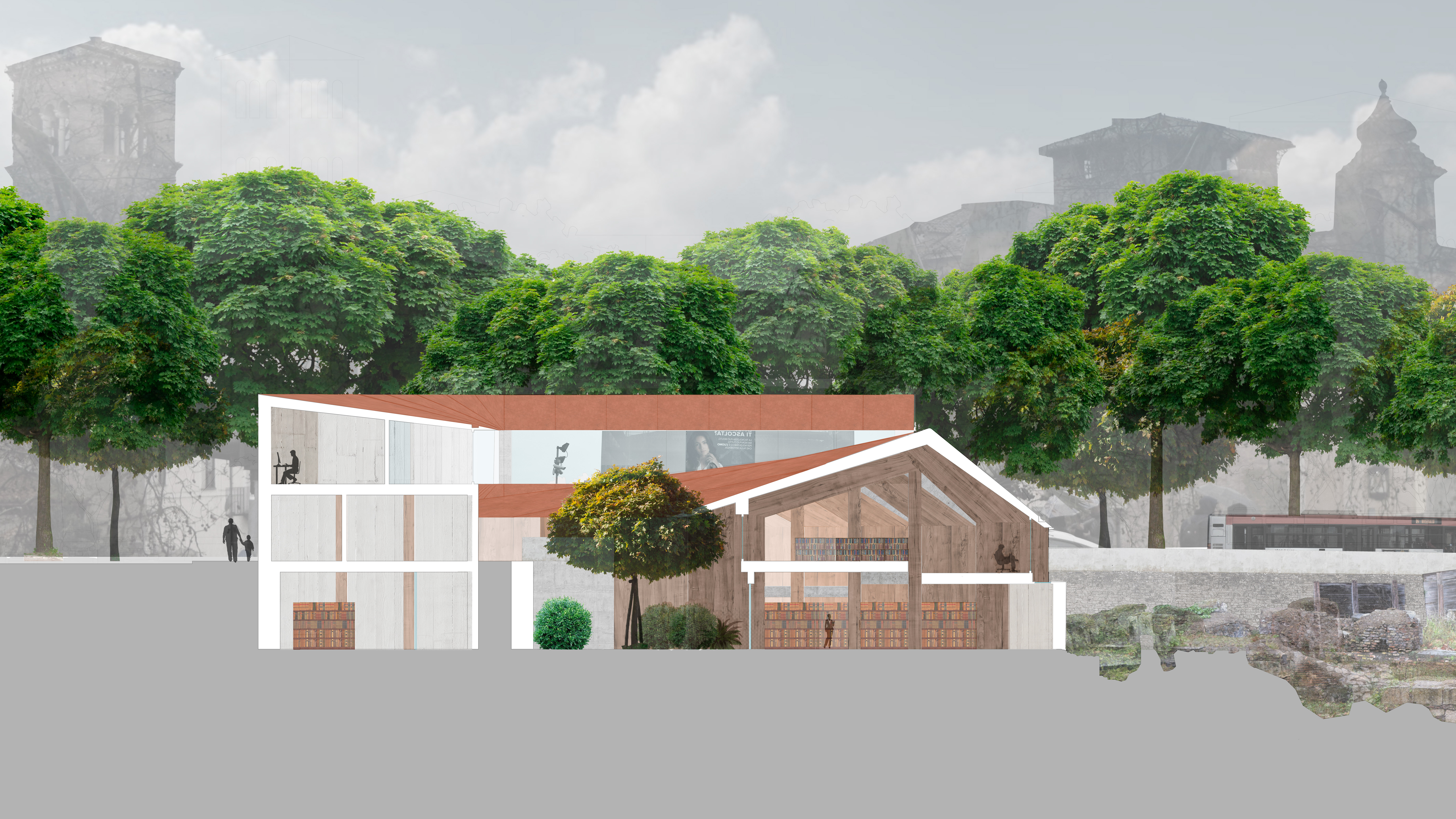
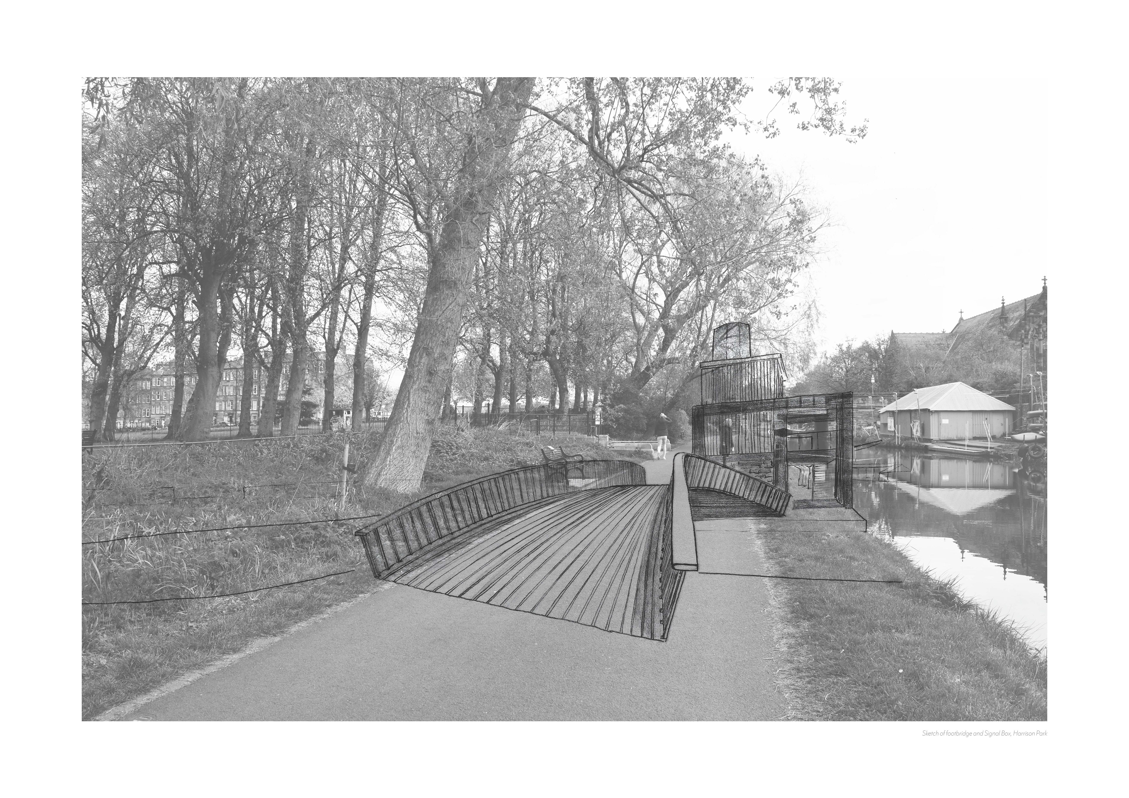
Sketch of the Harrison Park canal section

Plan Drawings for Dredger Shed

Drying plains for dredged silt, to be used as fertiliser
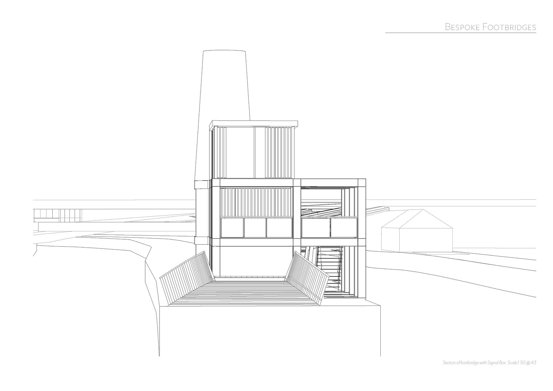
Elevation of signalbox and footbridge
Footbridge and Signalbox, maintaining the towpath
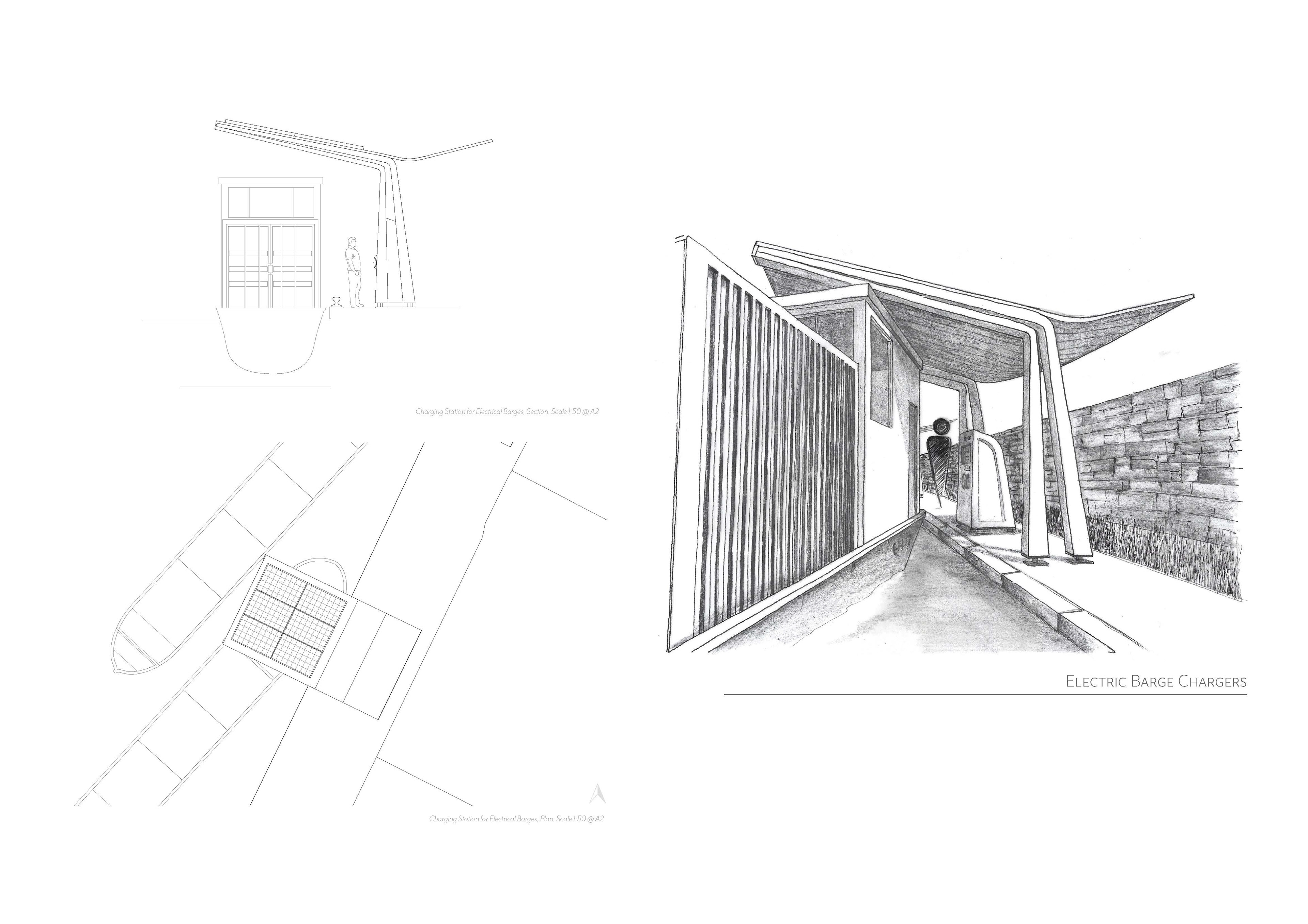
Electric Barge chargers
The second phase of the project works to improve the existing and allow communities to be connected via a new local trade route. This includes building a new boathouse to be used by the public and a regatta length rowing lane away from the main canal; to be used for racing, teaching or other watersports.
Other initiatives, such as building a Farmer's Market and Dock in Fountainbridge and Rest Stop for Barges, begin to create the infrastructure for a small-scale trade connection between farmers along the canal and the city.

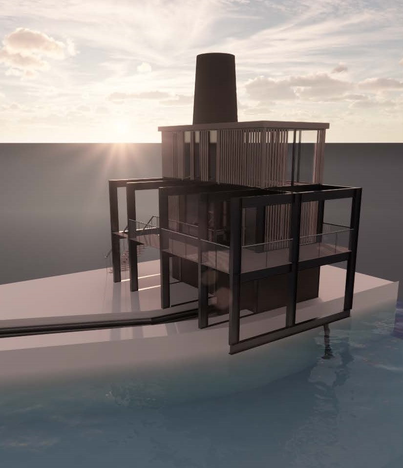
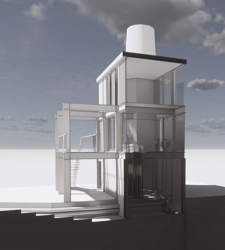
Canal Service Station and Rest Stop | Using the existing abandoned boathouse
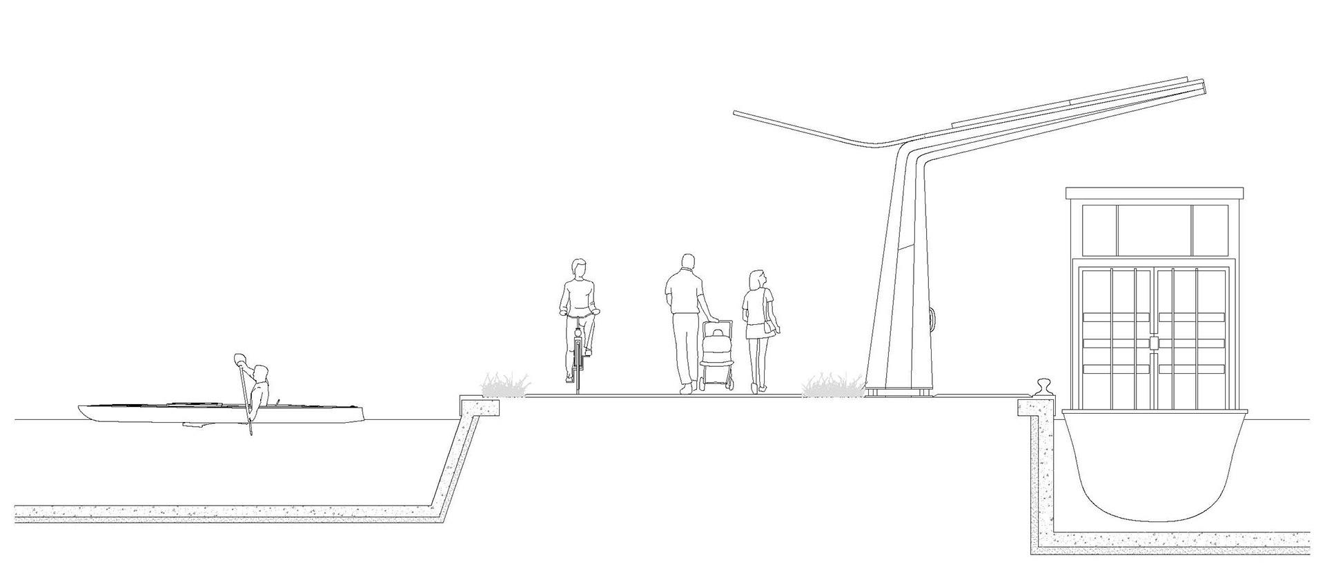
Section through the main canal, towpath and rowing area
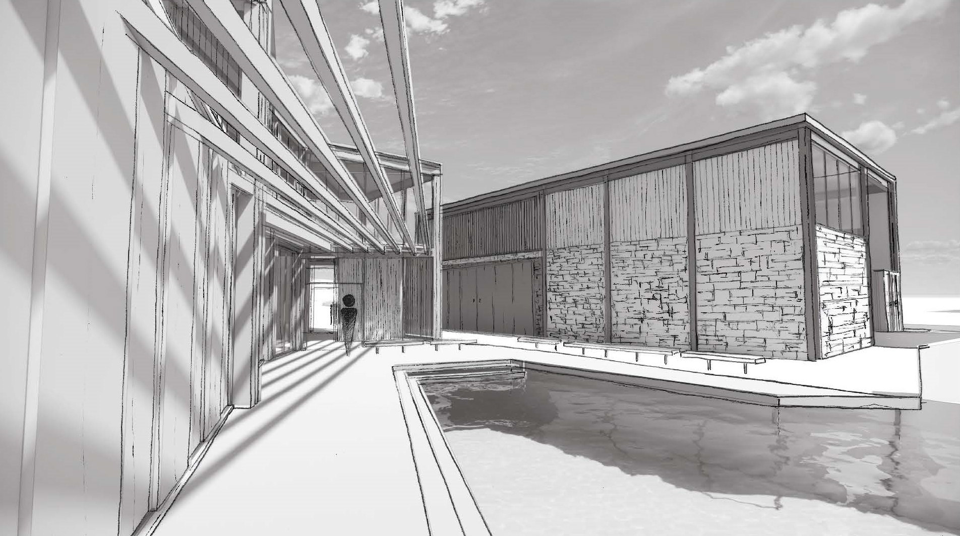
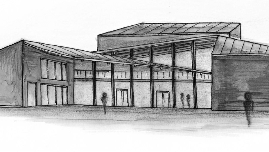
Sketch of the Boathouse and rowing lane
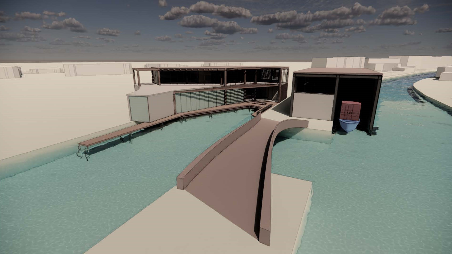
Boathouse and Dredger shed
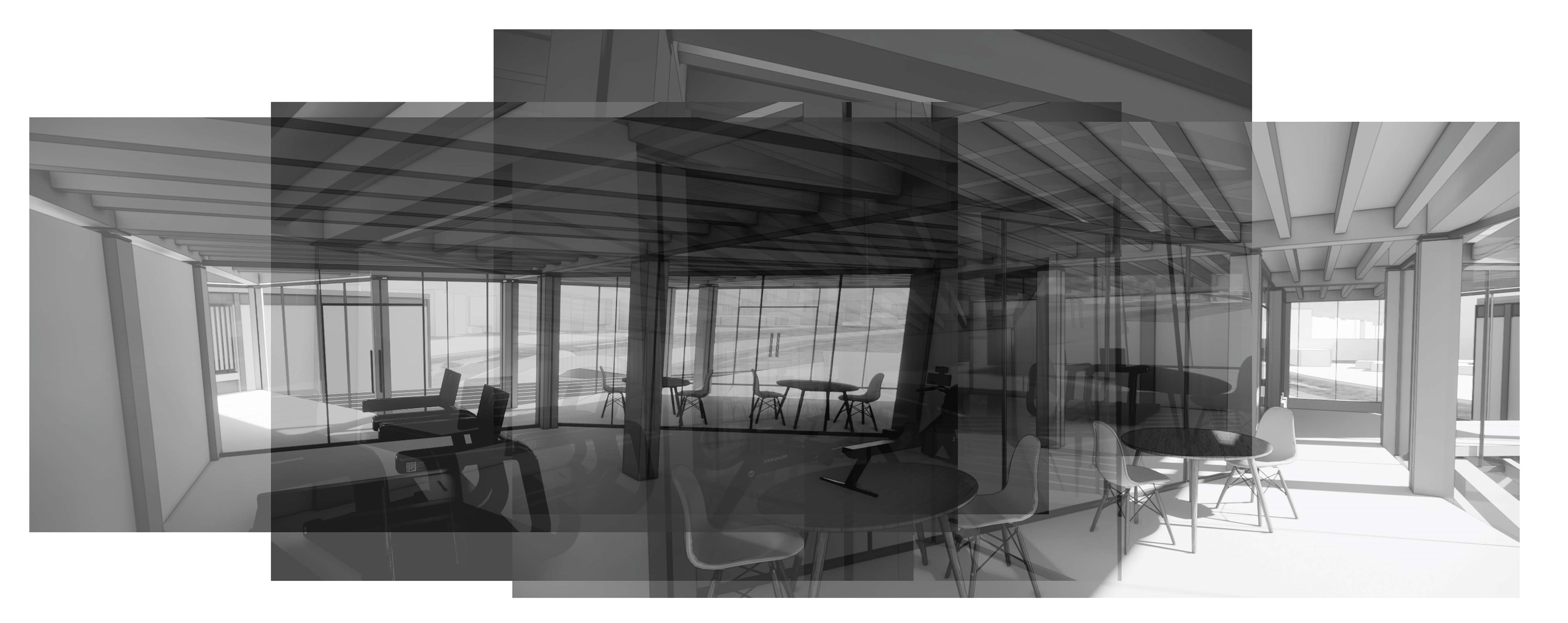
Interior view of the cafe and gym inside the Boathouse

Exploded isometric of the Boathouse construction
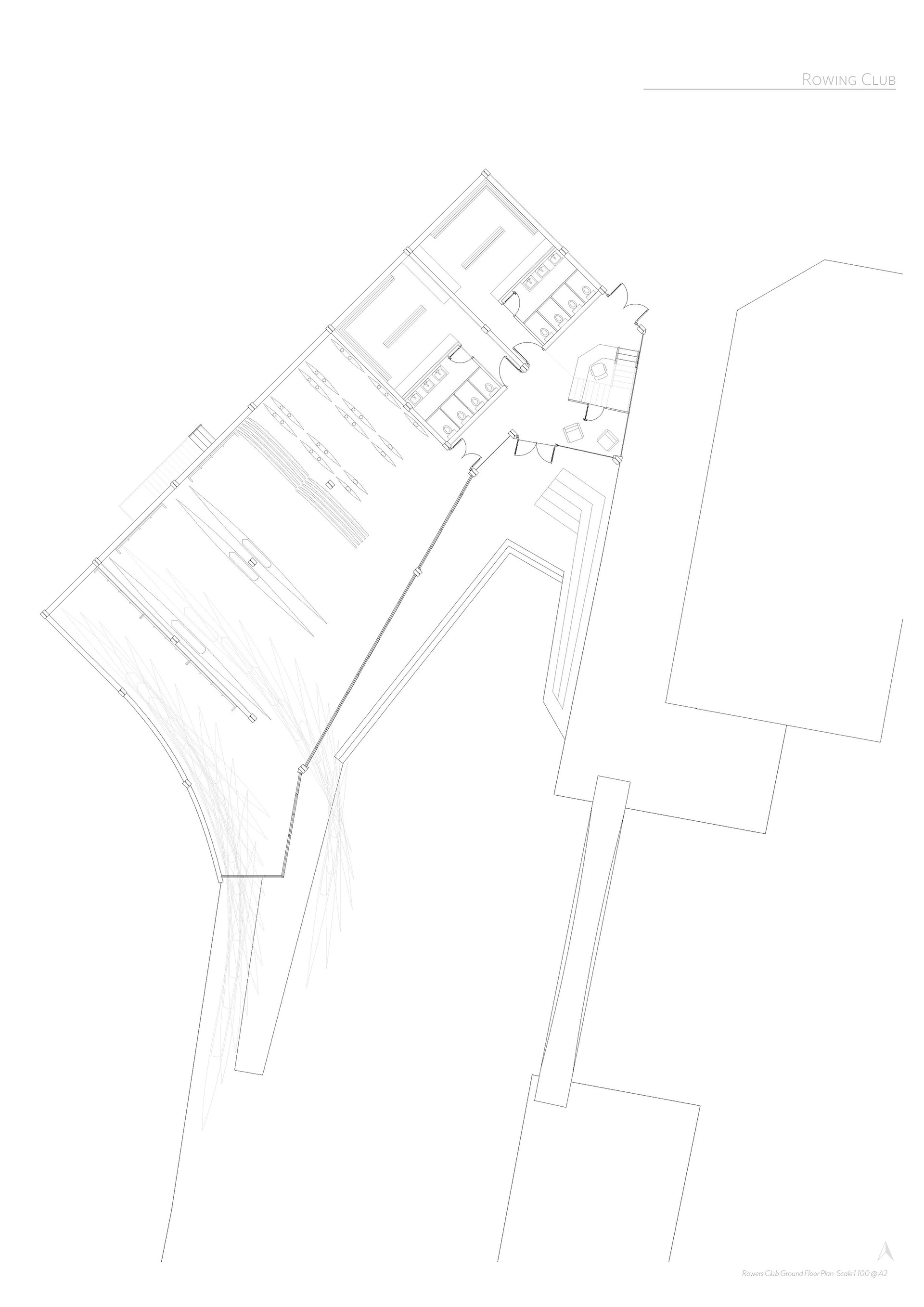
Ground Floor Plan showing changing rooms and boat storage
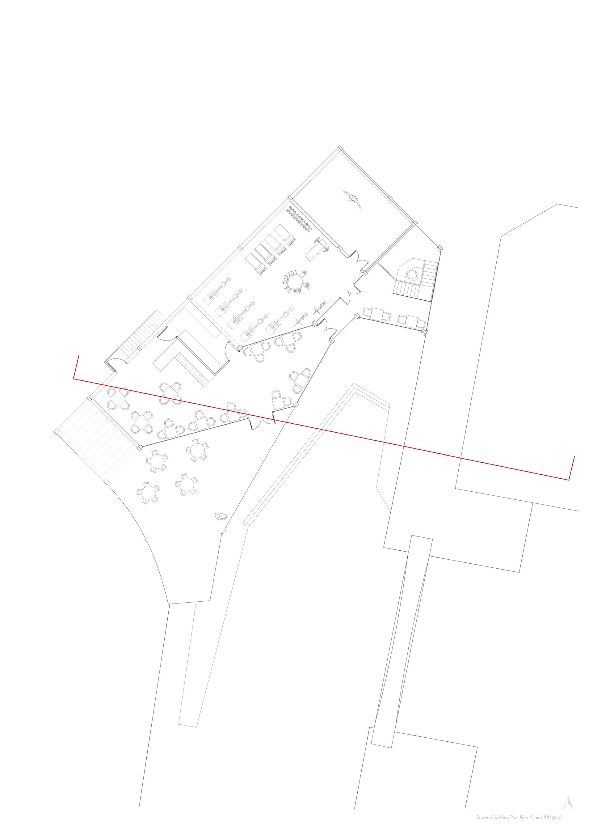
First floor Plan showing the cafe, gym and viewing platform

Plan for Canal Rest Stop
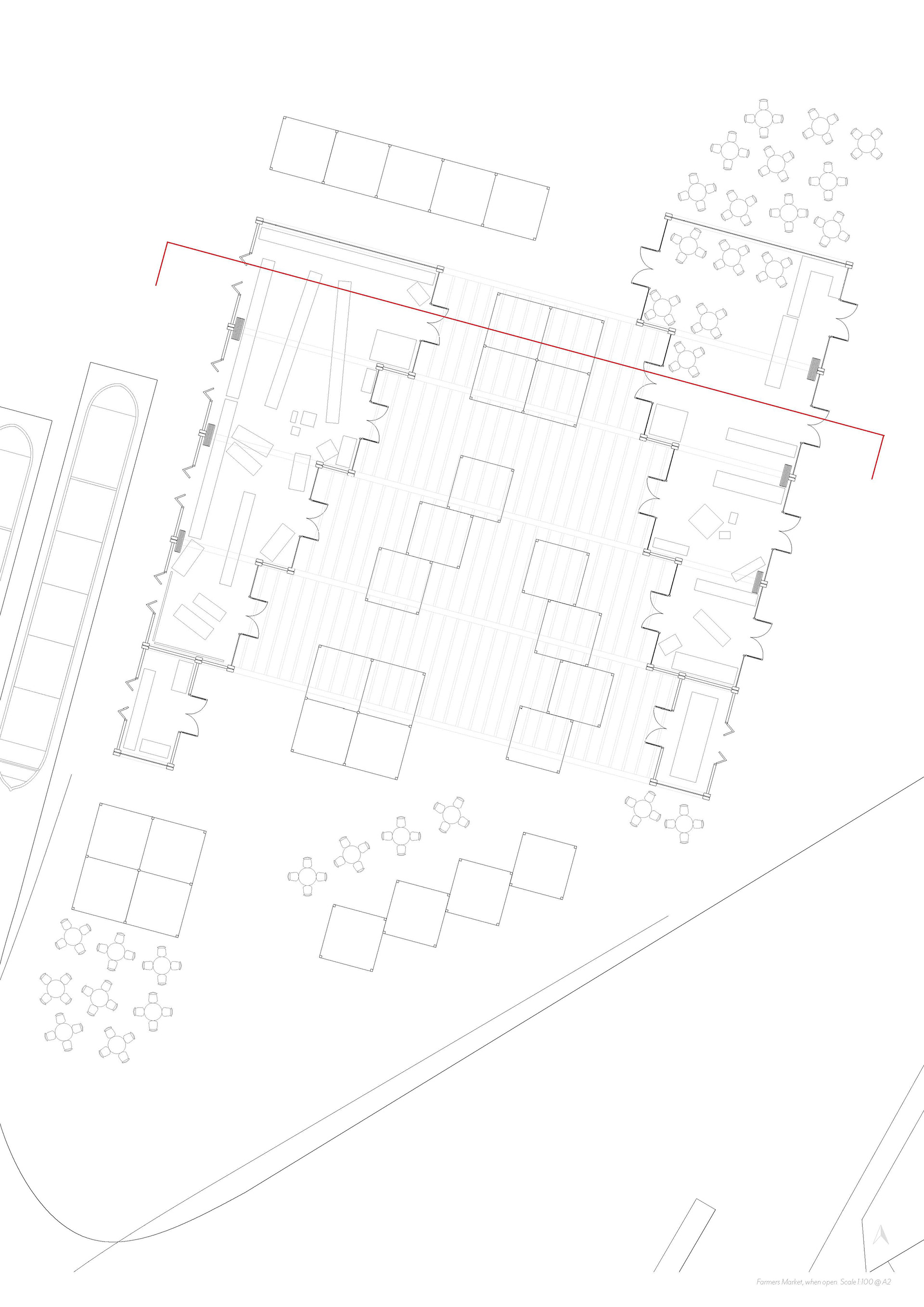
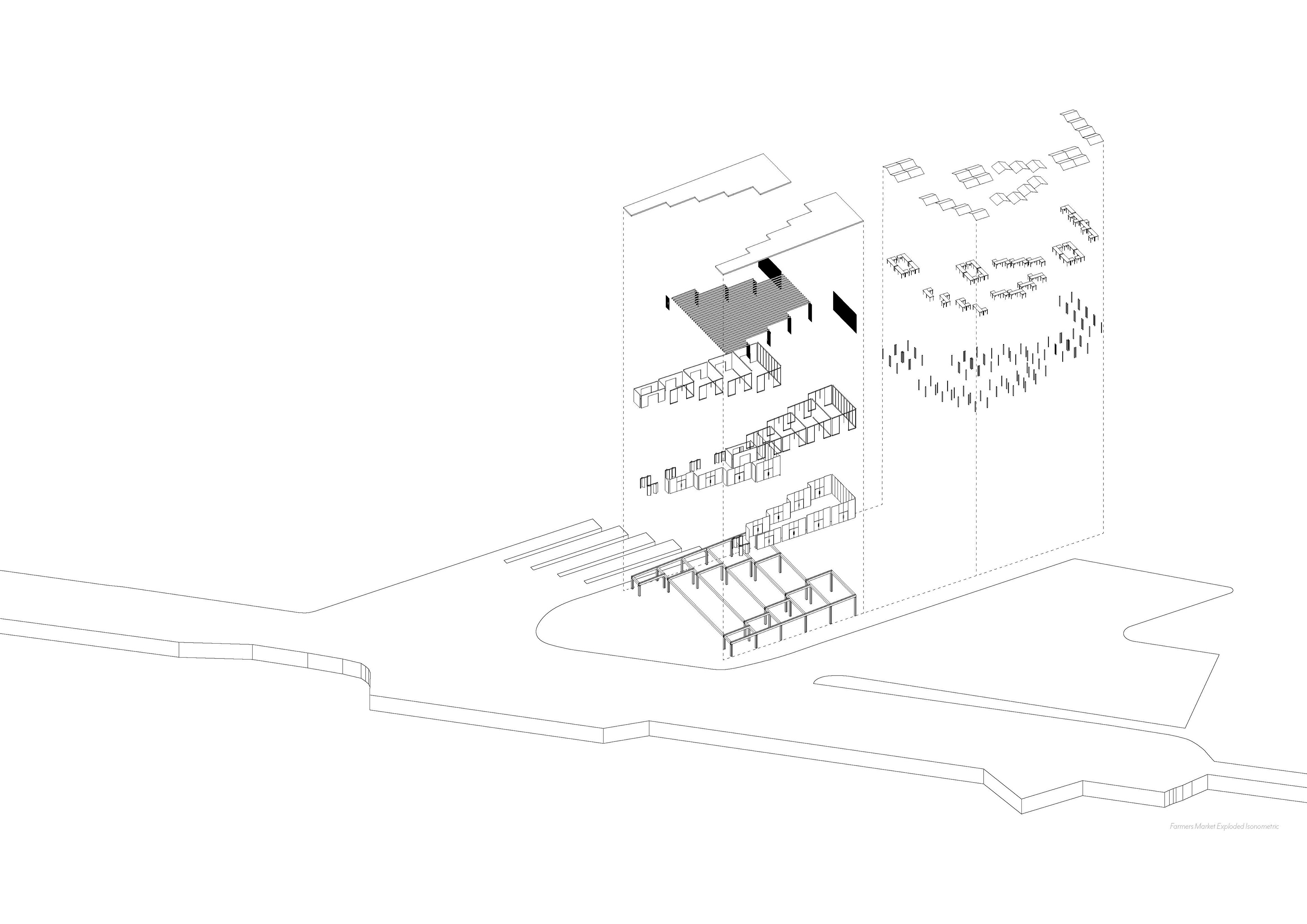
The Market is designed so that barges can bring local produce into the market and be sold closer to the city using the existing waterway. The open plan frame allows different-sized market areas to be made, utilising both indoor and outdoor space to allow it to function throughout the year.


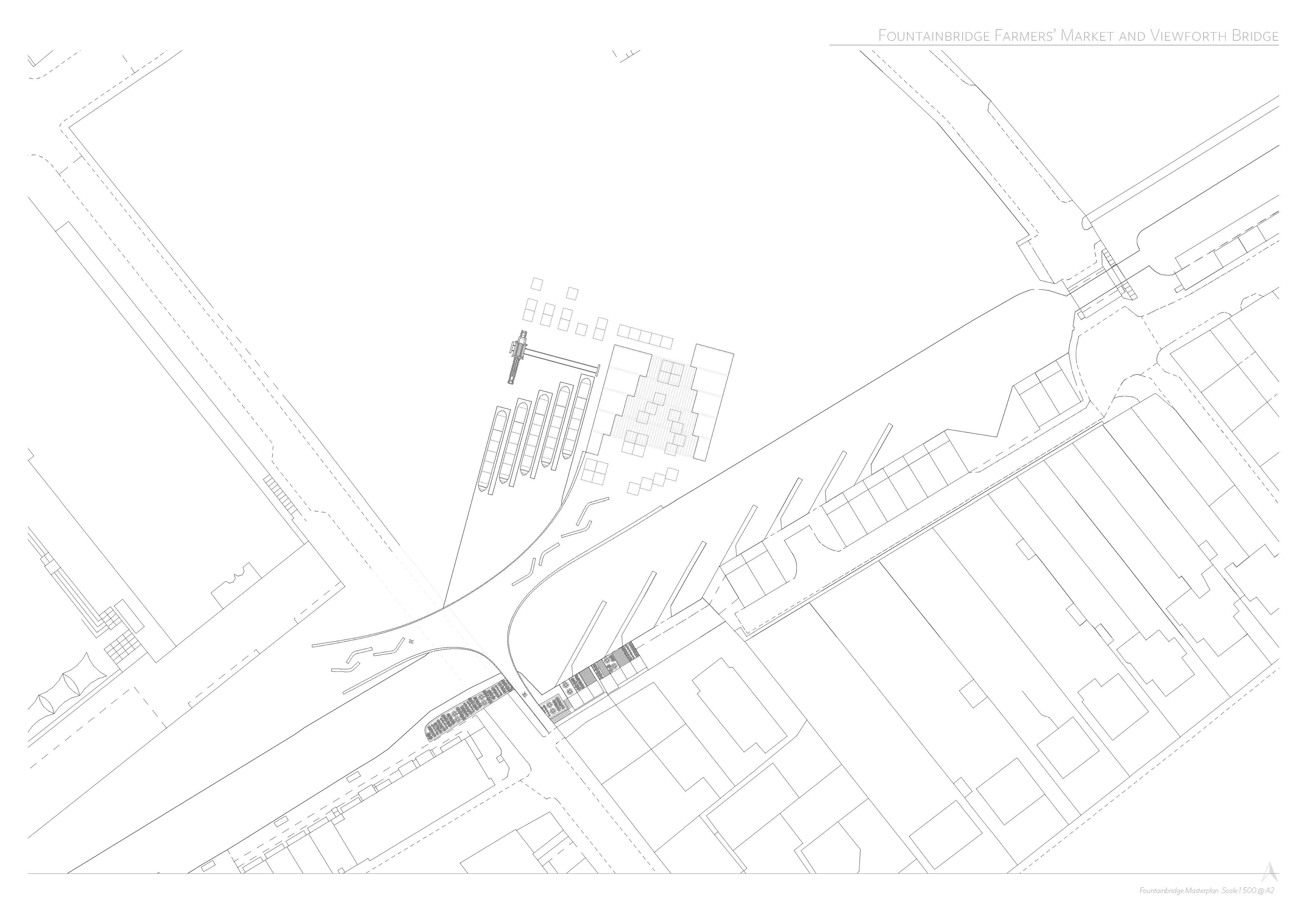
Plan of the dock and Farmer's Market
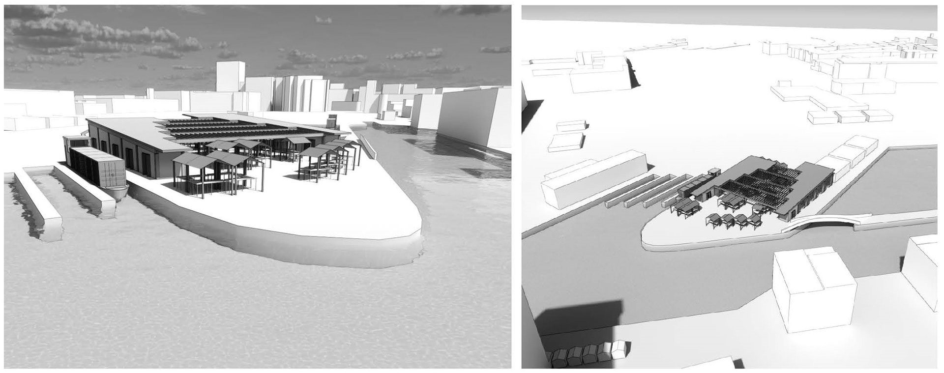
Farmers Market and Dock | Fountainbridge

The Signalman | A House for An Acturist
Working with the Forth Clyde Canal as a group, we explored the different transport networks across the area and the different deteriorations and regenerations in the area. This led us to individually consider ways that the canal could be revitalised sustainably and become more beneficial for local communities.

Exploring the Signal Box Network

Signal box and lock section
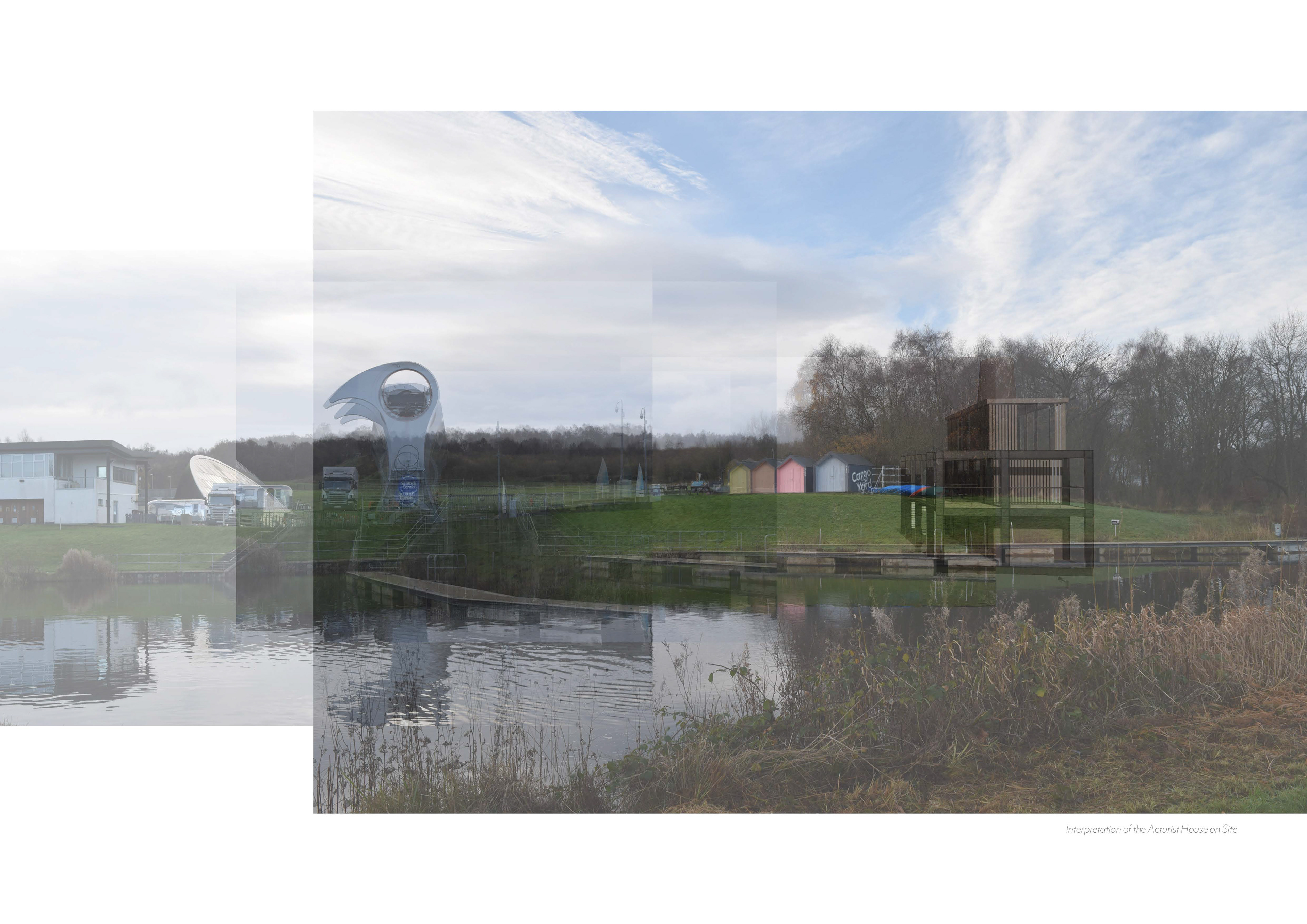
Visualisation of the signal box in situ | At the Falkirk Wheel
My Acturist became someone with that ambition in mind and became a ‘signalman’ for the passage of boats along the canal from Glasgow to Edinburgh. Much like signals on a railway the signal box proposal aimed to provide a centralised network of people who can control traffic of boats along the canal, allowing it to be used more efficiently and safely. This led into the project above, about making a local trade network using the waterway, and the signal box was an important mechanism in exploring its feasibility.
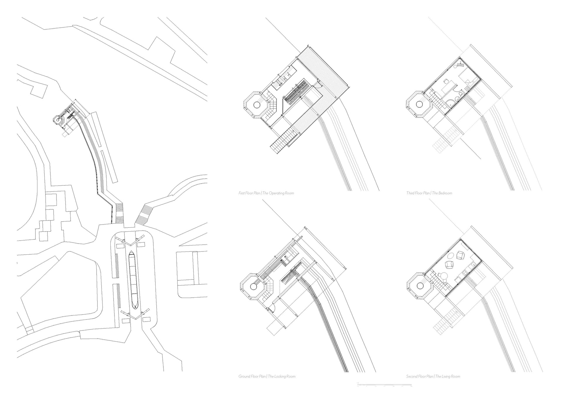


Mechanical Section of the Signal box